
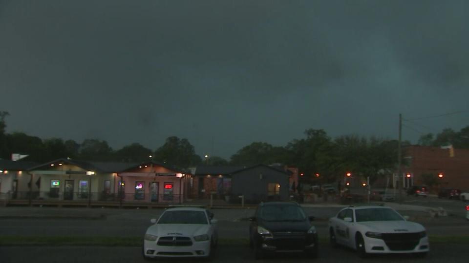
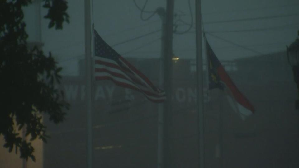
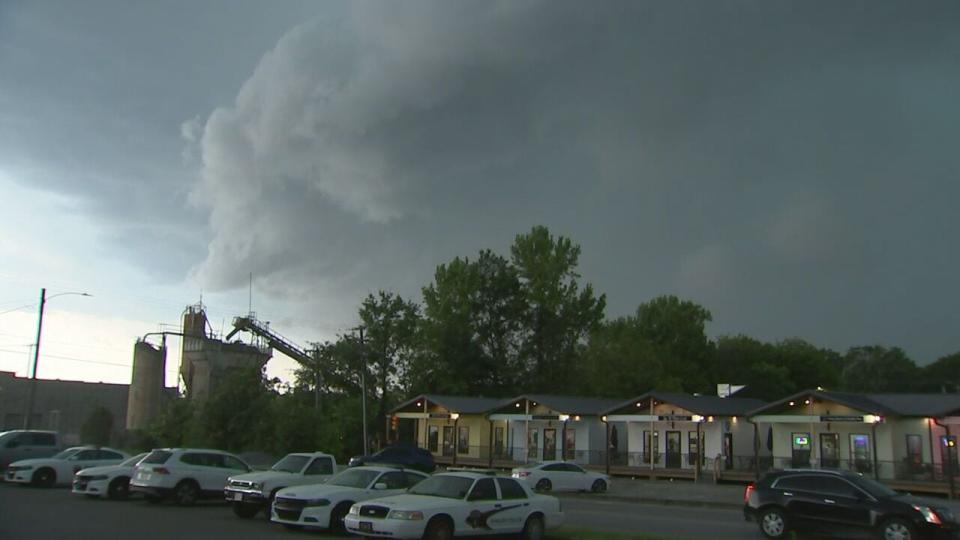
Severe thunderstorms with winds up to 70 mph push through area
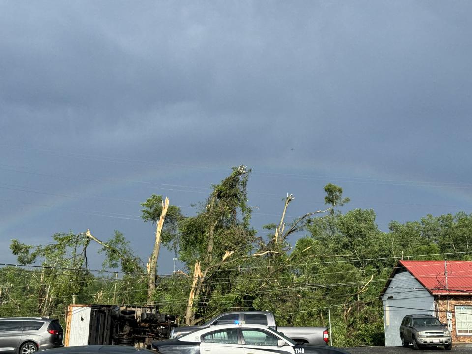
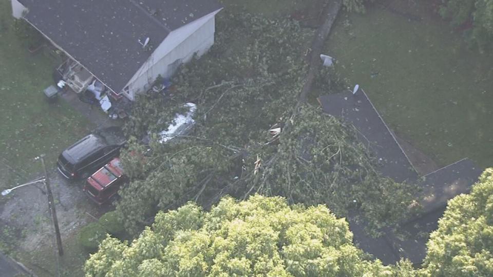
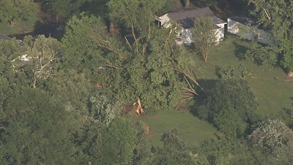
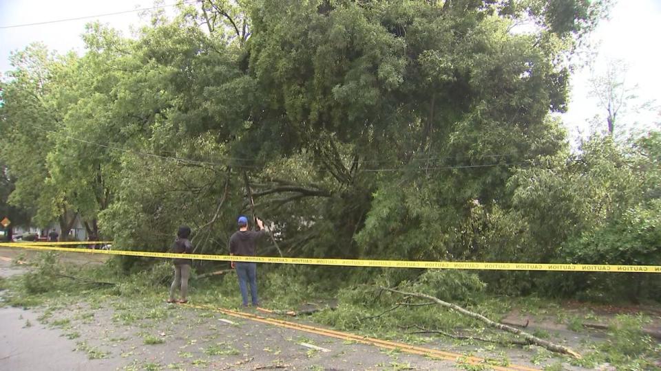
Strong storms that brought high winds, heavy wind, lightning, and hail have caused widespread damage across the Charlotte area. There have been several reports of downed trees and power lines, which caused more than 100,000 Duke Energy customers to lose power Wednesday afternoon.
>> Channel 9′s Weather 24/7 stream has the latest local weather all day, every day. Watch wherever you stream — on our website, or through your mobile app or smart TV.
A severe thunderstorm watch has been canceled.
Chief Meteorologist John Ahrens warns that there is another round of strong-to-severe storms that are heading our way. Expect them to arrive to our area overnight.


COVERAGE:
6:45 p.m.
Airborne Boat
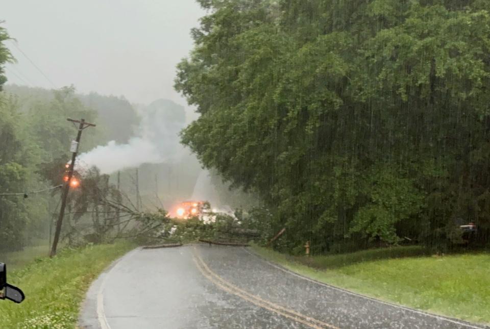
Storms in Fallston toppled trees and blocked roads all over, including this one on Highway 18. When the roots were upended, the boat resting under the tree was lifted about 4 feet off the ground. We are told another tree fell on a home nearby. No major injuries. pic.twitter.com/Chz42vdj93— Ken (@kenlemonWSOC9) May 8, 2024
6:15 p.m.: Gaston County declared a state of emergency as first responders work to clear roads of downed power lines, broken trees and provide aid to residents in need.
At 5:30 p.m., more than 37% of Gaston County power customers were without power.
“We’re working as quickly as we can to make sure our residents are safe and downed trees and debris is moved out of roadways so power crews can work on getting power restored,” Chairman Chad Brown said.
6 p.m.: Severe Weather Center 9 update
6 p.m.: One person was killed, and another was hurt Wednesday afternoon after a tree fell on a vehicle south of Belmont, Gaston County emergency services said. Read more here.
5:45 p.m.: Severe thunderstorm warning for Richmond County until 6:15 p.m.
5:35 p.m.: Severe thunderstorms warnings in effect for Anson, Lancaster, Stanly, and Chesterfield counties.
5:30 p.m. : Severe thunderstorm warning for Chesterfield County until 6:30 p.m.
5:20 p.m.: Severe Weather Center 9 updates (Video below)
——————-
VIDEO: Glenn Counts covers storm damage in Gaston County
VIDEO: Ken Lemon in Shelby
VIDEO: Gaston County, Cleveland County
VIDEO: East Charlotte
VIDEO: Plaza Midwood
4:50 p.m.: Severe thunderstorm warnings issued for Cabarrus, Chester, Union, Anson, Lancaster, Stanly, Chesterfield, and York counties.
Check out this timelapse of a strong storm that swept across Charlotte Wednesday afternoon.
Posted by WSOC-TV on Wednesday, May 8, 2024
4:45 p.m.: Tens of thousands of Duke Energy customers have lost power

4:40 p.m.: Severe Thunderstorm Warning extended for areas of Mecklenburg and Cabarrus counties until 5:15 p.m.
4:20 p.m.
Traffic lights are out, trees are down, roads are flooding. It’s a mess near Uptown right now.
— Joe Bruno (@JoeBrunoWSOC9) May 8, 2024
4:15 p.m. Forecast update
4:05 p.m.: Message from Charlotte-Mecklenburg Schools: The storm may delay bus transportation for CMS. After school activities may also experience impacts. All outdoor activities will be moving indoors and some schools may have late dismissals due to the weather conditions.
Gaston County Schools officials said that dismissal was delayed.
4 p.m.:
“Storm Warning”
Fire department horns echoed a weather warning just a few minutes before strong winds, heavy rain, and pea-sized hail dropped on the city. pic.twitter.com/E8Wq3X9YTs— Ken (@kenlemonWSOC9) May 8, 2024
3:50 p.m.
3:45 p.m.: Tornado warnings have expired.
3:20 p.m.: Severe thunderstorm warnings issued for Mecklenburg, Cabarrus, Cleveland, Gaston, Lincoln, and York counties until 4:45 p.m. This storm will contain wind gusts to 70 mph.
3:10 p.m.: VIDEO BELOW: Channel 9′s Ken Lemon reports from Shelby
3 p.m.: A tornado warning was issued for Cleveland, Gaston, and Lincoln counties until 3:45 p.m.
Tornado Warning for Cleveland, Gaston, and Lincoln County in NC until 3:45pm.
— WSOCWeather (@WSOCWeather) May 8, 2024
>>STAY UPDATED WITH SEVERE WEATHER CENTER 9
2:30 p.m.: the first severe thunderstorm warning was issued for our area. That included Burke, Catawba, Cleveland, Gaston and Lincoln counties until 3:45 p.m.
TIMELINE:
Noon – 3 p.m.: Storms are expected to build up in the mountains of western North Carolina.
3 p.m. – 5 p.m.: Severe storms will move to the Charlotte area, but the storms could last into Thursday morning.
5 p.m. – 7 p.m.: Significant weather will move to the eastern part of the state and continue through the night.
WEATHER RESOURCES:
FOLLOW OUR TEAM ON TWITTER:
The Severe Weather Center 9 team will be tracking the storms throughout the day, and we’ll update this article with new information when it’s available.
A Severe Thunderstorm Watch has been issued for Charlotte and points east until 4 pm. No storms developing yet, but they’ll fire up just after noon and become quite strong with a threat for damaging winds and hail. A brief tornado can’t be ruled out. Stay alert this afternoon. pic.twitter.com/G8reoViuaw
— WSOCWeather (@WSOCWeather) May 8, 2024
Be sure to download the WSOC Weather app to get notifications when storms are approaching your neighborhood, and you can use the app to watch Channel 9 when weather knocks out the power.
WEATHER RESOURCES:
(VIDEO: ‘The roof’s coming off!’: Baseball coach describes moment tornado hit Rowan Co.)

